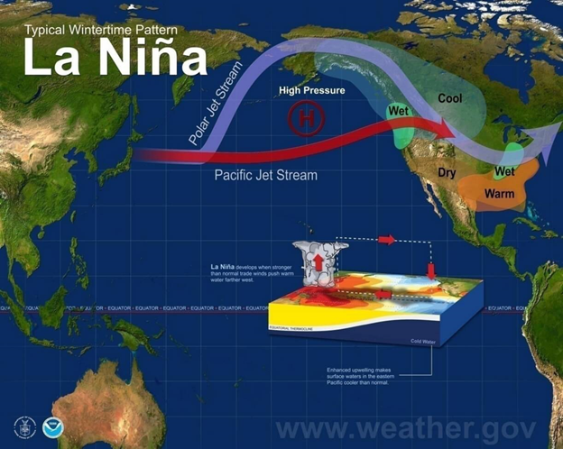

The Skiing Weatherman-January 21, 2022
East stays stormy…snow returns to the West
As we approach the approximate halfway point in the skiing/riding season, the slopes in all regions of the U.S. and adjacent to Canada are in good condition, with the western half of the continent still benefitting from the astounding amounts of snow that fell in late December. This season got off to a roaring start in the West and a sluggish one in the East, but the jet stream pattern that delivers cold and storms has favored the Midwest and East for a couple of weeks now. A western ridge/eastern trough couplet has dominated, and that setup will remain in place much of the time for the rest of this month. In early February, a subtle change will lead to a turn to milder weather in the East. If we look at the jet stream map as this forecast gets underway, we see strong ridging that stretches up to Alaska where the clockwise flow around that ridge can tap deep cold air over northern Canada.
In that position, the ridge is far enough west to allow small packages of jet energy to slide down its eastern flank and bring some snow to the inland ranges of West. Not major snow, due to the lack of a direct tap into Pacific moisture, but after lots of bluebird days of late any new snow is very welcome. The coastal ranges from B.C. down through California will be kept rather dry by the eastern flank of the large upper ridge sitting offshore. The jet level flow along the coast is nearly northerly right now, so the disturbances will be able to dive all the way to the Mexican border, which would bring the resorts south of I-70 some light snow this weekend…the fast movement will limit the input of Pacific moisture, but the “freshies” will do a nice job of softening the surfaces a bit.
As has been the case for the past couple of weeks, the real forecast challenges will come over the eastern half of the country, where the interaction of the northern and southern branches of the jet stream determine the track and intensity of surface storms. In the Rockies, the track of the storm determines who get heavy snow and who gets light snow. In the Midwest and East, it determines much more, with sleet, freezing rain, and plain rain often part of the landscape. If we look at the Monday morning 1/24 jet stream, we can see a good example of the forecast challenge.

The systems that swings through the Southwest is headed out to the southern Plains, where it could join forces with northern stream energy moving into Minnesota. If they phase into one larger trough, another substantial winter storm would impact the Midwest and East. Just where the two branches of the jet combine will determine whether the surface low goes up west of the Appalachians, just east of the mountains and along the coast, or it stays off to the south. All three have vastly different outcomes in terms of “who gets what”. Right now, I favor the two streams staying separate with light snow in the Lakes and Northeast. This busy pattern will persist until the trough eases west at the end of the month, perhaps supporting a “cutter” low into the Lakes at that time.